Milwaukee River Greenway Wildlife Enhancements Project
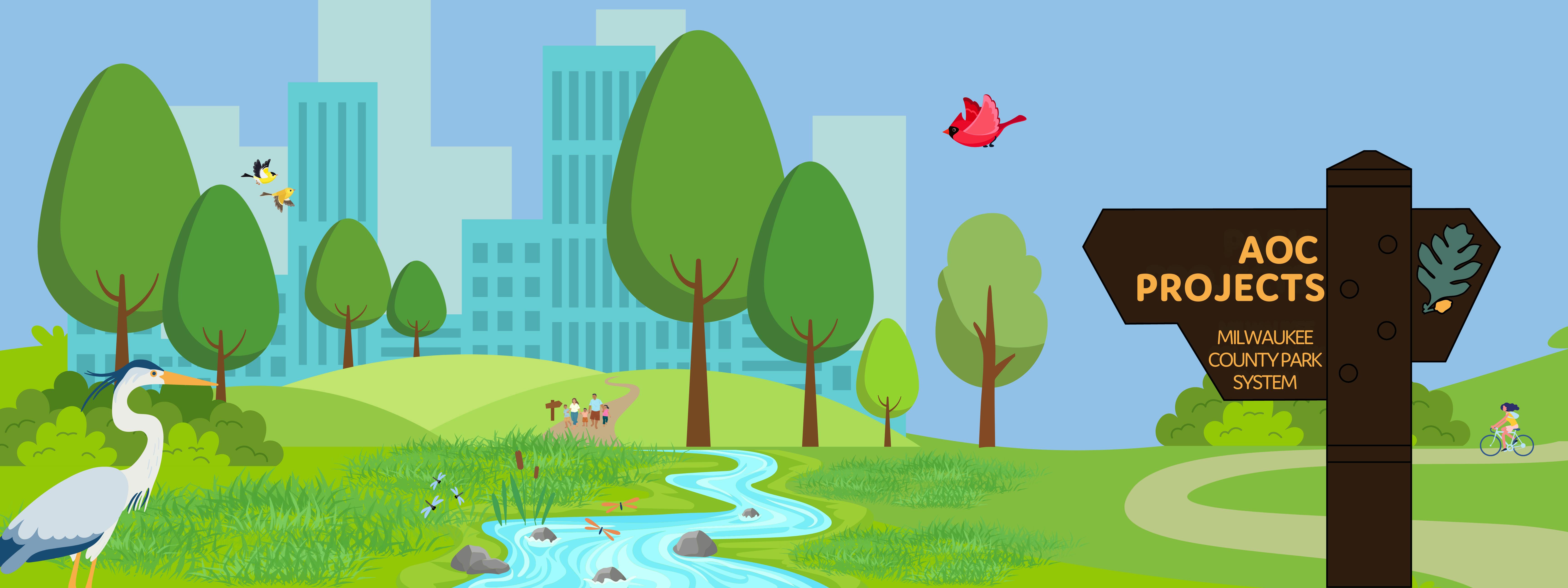
This is a Milwaukee Estuary Area of Concern Project. Please visit the Parks & the AOC and the Waterway Restoration Partnership for more information on this amazing, multi-partner effort to cleanup waterways and restore habitat across the County.
Updates:
Milwaukee River Greenway (MRG) Wildlife Enhancements Project is currently on hold. Watch this space for an update.

Project Background and Overview:
This page provides details on the Milwaukee River Greenway Wildlife Enhancements Project, focusing on improvements for native wildlife species and restoration of upland natural areas in the Greenway. For information on the adjacent Milwaukee River Floodplains Sediment Cleanup Project visit Parks and the Milwaukee River Cleanup.
The Milwaukee River Greenway (MRG) is one of the most beloved and popular recreational areas in the County. Serving a multitude of communities along it’s 7-mile stretch, people love hiking along trails, fishing in the river, and enjoying the wooded oasis found in the heart of the city.
The Greenway contains approximately 628 acres of parkland, encompassing 12 parks and 28 miles of recreational trails. It spans either side of the Milwaukee River from the former North Avenue dam in the south to Silver Spring Drive in the north. But this site is more than a linked system of parks and trails – it is home to communities of plants, animals, and natural features that have become rare throughout the County. As with many of our other AOC project areas, the Greenway retains some beech-maple forest in the upland and floodplain forests, which boast a suite of plant species that enjoy having their feet wet. Common trees found in the floodplain stretch include silver maple, green ash, river birch, and swamp white oak. These special natural communities have made the Greenway the focus of partner restoration and protection efforts for decades.
While the Greenway of today retains some of the habitats and plant communities of the mid-1800s, the size of natural areas has been greatly reduced. This habitat loss, coupled with increased urbanization, the introduction of invasive plant species, impacts of Emerald Ash Borer, and poor condition of remaining natural areas has negatively impacted native wildlife. The purpose of the MRG Wildlife Enhancement Project is to restore these unique natural communities to benefit targeted native wildlife, or Focal Species. These are priority species within the AOC - the basis for measuring the project area’s overall improvement as it relates to the AOC. With careful planning and a little TLC, the Greenway can once again support healthy populations of native wildlife.
Wildlife Enhancement projects are very similar to Habitat projects – in both cases ecological restoration work, including invasive plant species management and reintroduction of native plant species, are the primary activities taking place. Both types of projects are carefully designed to benefit plant and wildlife populations with minimal impacts on native species; work is appropriately timed to avoid impacts on breeding, nesting, and foraging activities. The key difference is that an additional level of tracking and planning is added for wildlife to ensure the least impact specifically for Focal Species.
Great Lakes Legacy Act Project Coordination:
Adding some complexity to the MRG Wildlife Enhancements Project is the adjacent Milwaukee River Floodplains Sediment Cleanup Project. This Great Lakes Legacy Act Project, led by USEPA, will be addressing contamination that remains in the Greenway from our industrial past. Within the lower portions of the MRG, there are floodplains that were historically under water when the North Avenue dam was still in place. When the dam was removed in 1997, river levels lowered, exposing the current contaminated floodplain areas. Some of the floodplain project areas are found within MRG Wildlife Enhancements Project parks. Visit Parks and the Milwaukee River Cleanup for more information.
Regular coordination with EPA is required through all phases of both projects. While we work in the upland area outside of the floodplains, EPA will manage sediment, eventually restoring the floodplains following guidance outlined under the MRG Wildlife Enhancements project.
When and Where is Work Happening?
After in-depth assessments of suitable natural areas throughout the AOC by the Milwaukee Estuary AOC Fish and Wildlife Technical Advisory Committee (Tech Team), 7 parks in the Greenway were identified as the areas where restoration would most benefit Focal Species. These parks form the project area of the MRG Wildlife Enhancements Project. Six of the seven are Milwaukee County Parks, which includes Lincoln, Kern, Pleasant Valley and Gordon Parks, as well as Milwaukee River Parkway Section 5, (leased and managed by the Land Trust - formerly River Revitalization Foundation/ Ozaukee Washington Land Trust), and Riverside Park (leased and managed by Urban Ecology Center). The Village of Shorewood’s Hubbard Park is the final site. Restoration and wildlife enhancements will take place on approximately 100 acres within the project area. 
Work to date:
In 2021 Milwaukee County Parks Natural Areas Department developed the MRG Ecological Restoration and Management Plan (ERMP). The ERMP (found in the documents section) outlines habitat management recommendations for the MRG project area, designed to benefit focal species. In 2023 consultant Stantec was hired to create the MRG Wildlife Enhancements Habitat Restoration Plan (HRP). This document took the recommendations from the ERMP and created detailed plan sets, outlining restoration activities, timelines, and comprehensive revegetation plans. Both the ERMP and HRP were developed in coordination with WDNR, the Tech Team, the Urban Ecology Center, the Land Trust, the Village of Shorewood, as well as community stakeholder groups. A revised HRP will be required ahead of implementation. This will add some finishing touches to the document, including new planning elements for Focal Species and additional coordination with EPA on the Floodplains cleanup project.
Project Timeline (subject to change):
- 2020-2021 – Phase 1 Planning: ERMP Development, MCP Natural Areas Department
- 2023-2025 – Phase 2 Design:
- 2023-2024: HRP Development, Stantec Inc.
- 2025 - 2026: Revised HRP, Consultant TBD
- Fall/Winter 2026-2029 – Phase 3 Implementation
What to expect?
 Left: Natural Areas crews managing buckthorn brush piles; Right: Consultant ERC & Stantec coordinate on tree planting at the Little Menomonee River Parkway.There will be minimal disruption during the first two phases (planning and design) of each MRG Project. Expect to see County staff and consultants in the field, as well as monitoring tools and equipment required for field surveys. However, Phase 3 of the project will likely cause disruption as restoration efforts begin on the ground. You may notice…
 - Temporary trail and recreational amenity closures,
- Heavy machinery and landscape equipment,
- Herbicide and forestry tools,
- Invasive species removal,
- Tree removal,
- Revegetation activities,
- Loud noises,
- Temporary decline of visual aesthetics.
For everyone's safety, please stay on designated trails, do not approach field crews, and be mindful of any signs and notices. We know this work is exciting and some of those machines are pretty cool, but crews are wearing protective gear for a reason - use of chainsaws, forestry mowers, herbicide and other restoration tools requires total focus. More details at AOC FAQ (Coming soon).
Restoration work is a process. There may be times that these areas are unsightly, and trails may be closed, but we promise it will be worth the wait. We appreciate your understanding and cooperation!
Project Benefits
- Enhance recreation opportunities for the community
- Increase of fish and wildlife populations
- Improve quality of habitat types
- Improve in-river aquatic habitats
- Improve water quality of the Milwaukee River
- Designed for climate adaptation
Not only will this project help to enhance native biodiversity and outdoor recreation for the community, but it is also a necessary action to help de-list the Milwaukee Estuary Area of Concern. “De-listing” involves completing projects that will address issues, or Beneficial Use Impairments, which have prevented humans, fish, and wildlife from being able to fully and safely use our natural resources. The MRG project will achieve this by addressing the Degradation of Fish & Wildlife Populations Beneficial Use Impairments (BUIs). For more information on delisting and BUIs visit Parks and the AOC.
How can I get involved and where can I learn more?
The best way to get involved is by signing up for project updates on this page! You can also sign up for the WRP Newsletter to stay up to date on all things AOC. Your input is valuable and important to all AOC Projects, we encourage you to join us at events or interact with us online!
- Volunteer workdays,
- Species monitoring,
- Educational hikes and events,
- And more!
But there are some very important ways you can help now:
- Join or start a Friend’s Group and work with local non-profits. Friends Groups and local non-profits are vital partners in restoration efforts. They can help provide long-term maintenance and monitoring once the project is completed. You can find a Friend’s Group or start your own at ParkPeopleMKE! Connect with our friends at Friends of Lincoln Park, Milwaukee River Advocates, Shorewood Waters Project, Gordon Park Friends, Urban Ecology Center, and the Milwaukee River Greenway Coalition.
- Help keep our parks clean! Illegal dumping has been one of the biggest challenges to improving AOC project areas. Work has been halted and delayed on multiple occasions until the issue could be properly managed. If you see something, please submit a report via the Milwaukee County Parks Issue Reporter. Some of the recent issues we have encountered on other AOC projects:
 In the Little Menomonee River Parkway crews had to halt work for issues including: (left) hundreds of used diapers; (center) abandoned personal items like TVs, clothes, sofas and more; (right) construction waste and tires - all dumped in the project area.
Curious?
Ask a question about this project.
Signup Banner

Who's Listening
-
Phone 414-257-5064 Email natalie.dutack@milwaukeecountywi.gov -
Phone 414-567-8310 Email Antonio.Giron@milwaukeecountywi.gov


Thank you for your contribution!
Help us reach out to more people in the community
Share this with family and friends